
Day 01
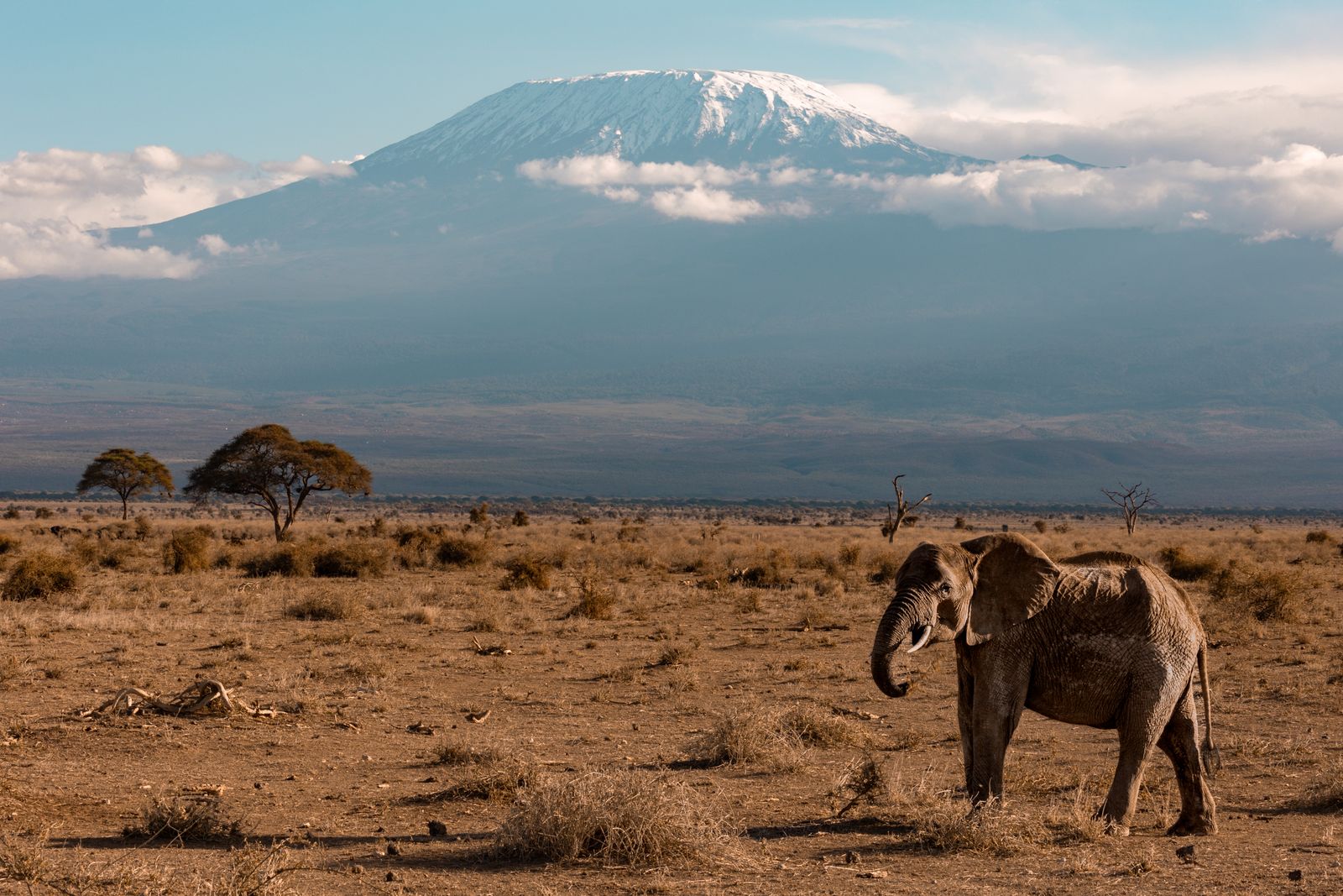
Field07 / 08
RegionNorthern Tanzania
Position3.07° S · 37.35° E
Kilimanjaro
CharacterThe changing mountain
Best forTrekking · Mountain ecology · Summit journeys
ContinueScroll to enter ↓
A distinct landscape
Africa’s highest mountain is a sequence of climates: forest, heath, volcanic stone and the clear, high world above the clouds.
When to goJanuary–March · June–October
Useful stay7–9 trekking days
Best forTrekking · Mountain ecology · Summit journeys
GatewayKilimanjaro International Airport · Moshi · Arusha
Let the landscape
set the pace.
Good guiding is knowing when to move—and when to stay exactly where you are.
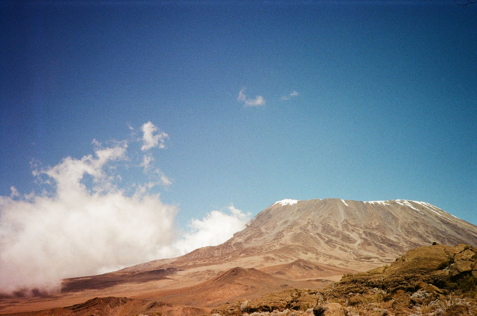
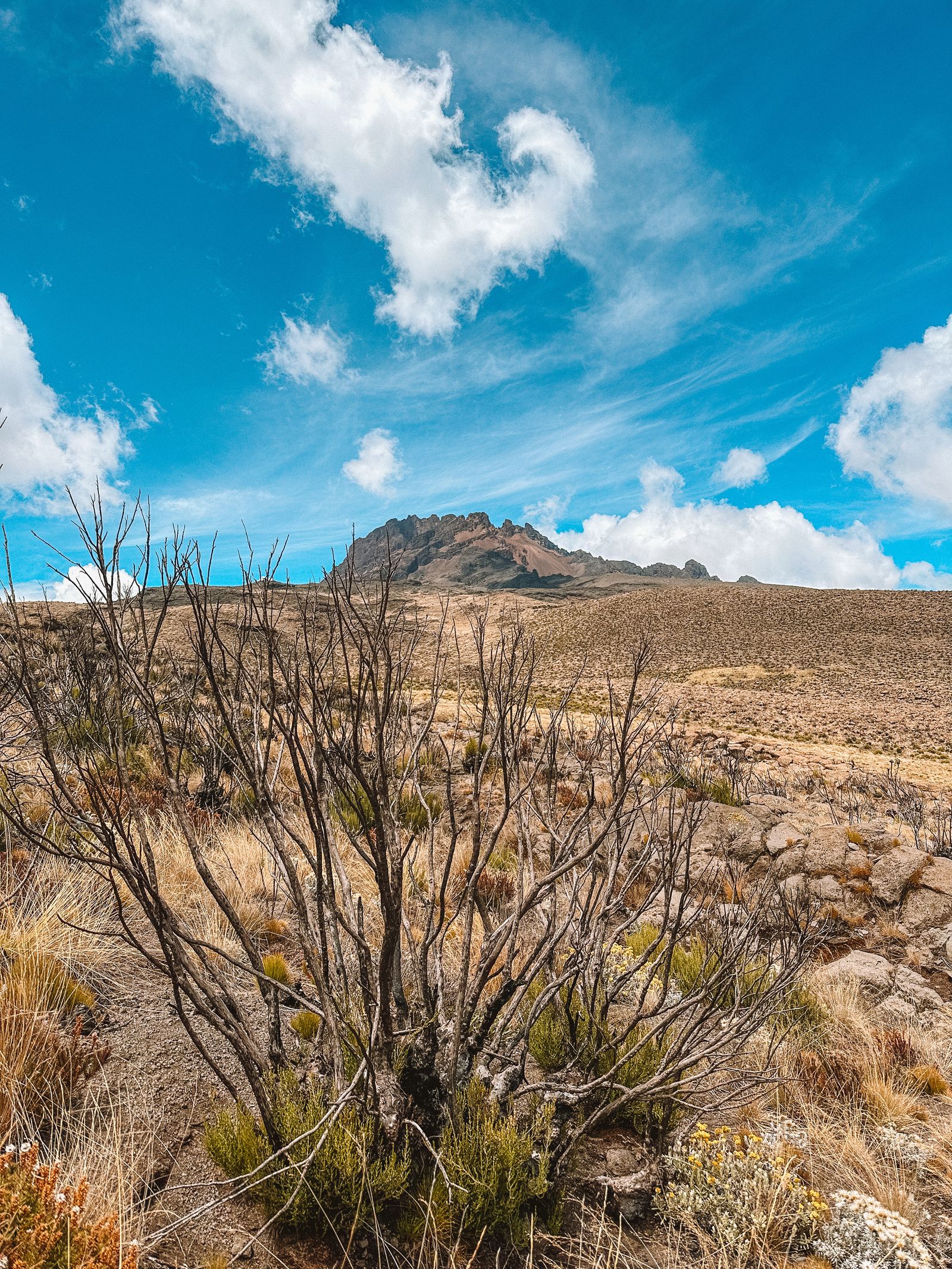
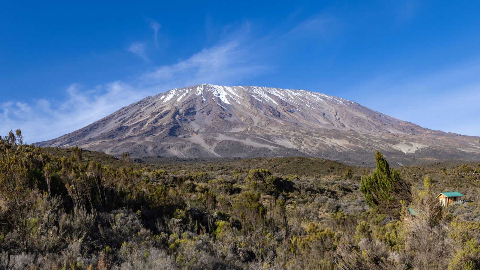
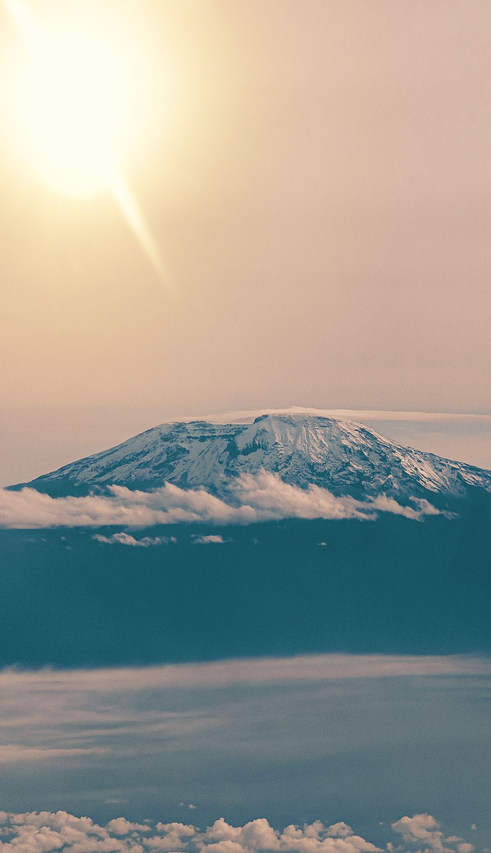
Swipe through the field photography →
Satellite imagery · exact destination position
Find Kilimanjaro
on the land.
Northern Tanzania3.07° S · 37.35° E
Drag the satellite field to read the surrounding terrain. The marker uses the destination’s real geographic coordinates.
Loading satellite terrain…
Exact positionKilimanjaro-3.0700, 37.3500
Drag to move · use + / − to zoom
A suggested rhythm
Three days,
unfolding.
A starting point, never a fixed script. Every day bends around light, weather and what the landscape is doing.↘
Day 02
Above the trees
Cross into heath and wide volcanic views with an experienced mountain team.Day 03
A higher horizon
Continue through the mountain’s altitude zones at a considered, acclimatised pace.Swipe through the three-day rhythm →
Before you go
Know the place
before the gate.
Getting there
Kilimanjaro International Airport · Moshi · Arusha
Most climbers arrive through JRO and transfer to Moshi or Arusha. Licensed operators arrange the correct trailhead and descent-gate transport.TANAPA Kilimanjaro visitor guide ↗How to pace it
Choose the route and duration for acclimatisation, not the shortest price. Add a recovery night before any flight or safari connection.
Four ecological worlds
Move from montane forest through heath and alpine desert into the arctic summit zone over several deliberate days.
Climb high, sleep low
Routes such as seven-day Machame use elevation gain and descent to give the body more time before summit night.
A professional mountain crew
Guides, porters, cooks, health checks, emergency systems and humane working standards are core parts of the expedition.
Swipe through the signature experiences →
Field notes
- Licensed operator
- TANAPA requires guided climbs; solo trekking is not permitted.
- Altitude
- No itinerary removes altitude risk. Insurance must explicitly cover high-altitude trekking and evacuation.
- Equipment
- Cold, rain and sun can arrive on the same route. A complete, operator-reviewed kit list is essential.
A journey, composed around you
Ready to choose
your route?
See Kilimanjaro packages↗
Continue onward · 08 / 08
Serengeti↗Planning references 05
Travel well-informed.
Public authorities and sector organizations worth knowing before you cross the country.



Independent travel references. Displayed marks link to their respective organizations and do not imply endorsement of Zanzibar & Tanzania Safaris.